
Understanding the Route Before You Drive It
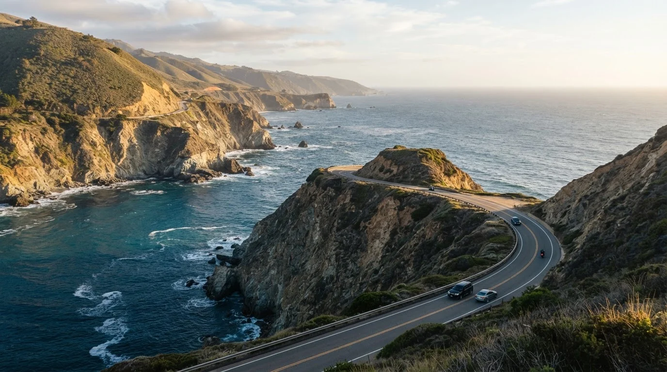
The Pacific Coast Highway - officially California State Route 1 for most of its length - runs along California's coastline from Dana Point in the south to Leggett in the north. When most travelers say "PCH," they mean the stretch from the Los Angeles area through Big Sur up to San Francisco: approximately 450 scenic miles that concentrate the route's most dramatic scenery.
Before mapping stops, it helps to understand that this is not an efficient highway. Two lanes, low speed limits (often 25-45 mph), and heavy tourist traffic mean you should plan for roughly half the speed of a freeway. A segment that looks like two hours on a map often takes three or four once you factor in pullouts, lunch stops, and the inevitable slow RV ahead of you.
For a well-structured itinerary that doesn't collapse under its own ambition, divide the route into logical daily segments rather than trying to cover ground by mileage alone.
What you will need
A Segment-by-Segment Breakdown
Think of the PCH in four distinct character zones, each with its own pace and personality:
- Los Angeles to Malibu (approx. 30 miles): Urban coastline easing into celebrity-adjacent beach towns. The scenery is pleasant rather than breathtaking. This is a good half-day start that lets you shake out logistics before the route gets serious.
- Malibu to San Luis Obispo (approx. 200 miles): The highway opens here. Ventura, Santa Barbara, and Pismo Beach each offer genuine overnight value - Santa Barbara in particular warrants a full day rather than a drive-through. The coast alternates between windswept bluffs and agricultural valleys.
- San Luis Obispo to Carmel (approx. 130 miles - the Big Sur stretch): This is the reason people drive PCH. After passing Morro Bay and Cambria, the road climbs into the Santa Lucia Mountains and hugs sea cliffs for roughly 90 miles. There is almost nothing in between - no gas, limited food, and minimal cell signal. Build an entire day around this segment and stop often.
- Carmel to San Francisco (approx. 120 miles): The route softens through Monterey and Santa Cruz before becoming suburban again approaching the city. Monterey's waterfront and the redwood corridors near Santa Cruz are worthwhile detours.
If the idea of juggling multiple overnight locations feels daunting, our guide on coordinating multi-destination trips walks through sequencing logistics step by step.
Drive the Big Sur Stretch on a Weekday
Weekend traffic on the Big Sur corridor - particularly in summer - can create bumper-to-bumper conditions at every major overlook. If your schedule allows, positioning Big Sur on a Tuesday, Wednesday, or Thursday dramatically improves both the driving experience and parking availability at the most photographed stops.
Pacing Honestly: What Most Itineraries Get Wrong
The most common mistake on a PCH trip is treating every named stop as mandatory. Travel publications list dozens of overlooks, beaches, and towns - and readers try to visit all of them. The result is a trip that feels rushed despite covering beautiful ground.
A more honest approach: choose two to three anchor stops per driving day and treat everything else as optional bonuses. If you find yourself pulling over spontaneously at an unmarked bluff, that's the trip working as intended. If you're checking a list every 20 minutes, you've over-planned.
Overpacking a schedule is one of the most documented planning errors in road trips specifically - the linear nature of a route creates a false sense that more stops equal more value.
Summer Fog Can Obscure Key Views
The phenomenon known as 'June Gloom' extends well into July and August along the northern PCH. Thick marine fog often doesn't burn off until midday near Carmel and can linger all day near San Francisco. If coastal views are your primary goal, late spring (April-May) or early fall (September-October) generally offer clearer conditions - though always check local forecasts rather than assuming.
For context on how a PCH drive fits into a broader California nature itinerary, our overview of America's national parks covers nearby options like Pinnacles and Channel Islands that pair naturally with a coastal drive.